Drone Roof Inspection in Cambridge, MA
Use drone imaging to document hard-to-access commercial roofs in Cambridge, then pair aerial views with hands-on checks where seams and details need testing.
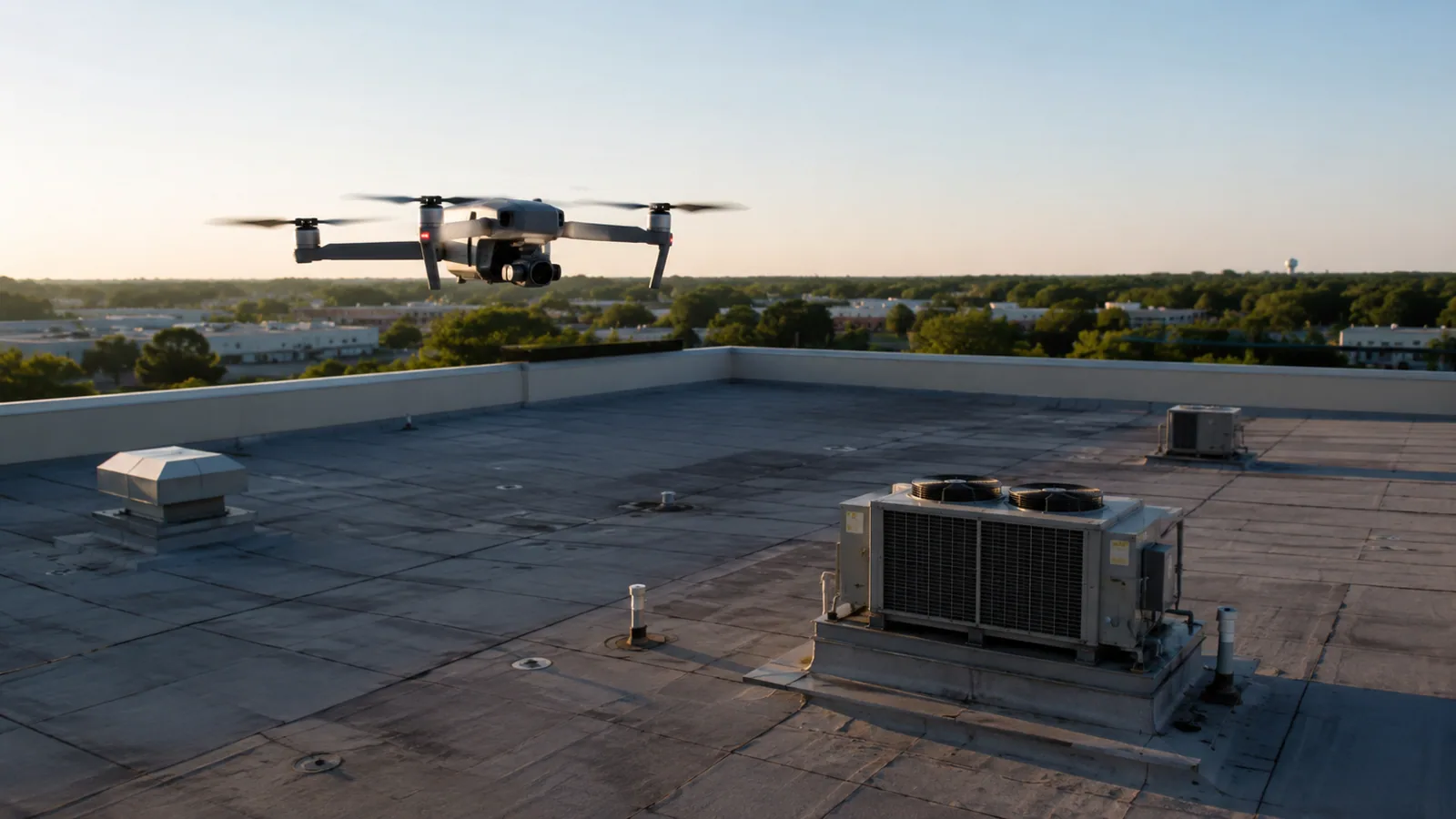
A parapet can hide an edge transition from the roof hatch, while a broad aerial image can show how the sections connect. Our drone roof inspection in Cambridge, MA uses controlled imagery to document accessible roof surfaces and difficult sightlines. It helps locate ponding, debris, displaced components, and areas for closer review, but it does not test a seam or confirm wet insulation. Cambridge's districts include research, institutional, retail, and mixed-use properties, from Kendall Square to East Cambridge. We plan each flight around property access and operating conditions, then identify which observations need a hands-on follow-up. The deliverable ties images to roof sections so the building manager can use them for repair planning instead of relying on unlabeled overhead views.
What can aerial images show?
Overhead imagery can make roof layout and visible surface conditions easier to review. We capture section boundaries, equipment groupings, access paths, drainage features, and areas where material appears displaced or debris has collected. Oblique views may help show parapet faces or transitions that are difficult to see from the roof surface. The images record what is visible at the time of capture; they do not establish the condition of concealed layers or the cause of an interior leak.
For a large or irregular commercial property, image coverage can help the manager prioritize where a closer inspection should start. We mark visible ponding or damaged flashing for direct review and note where sunlight, shadow, roof color, or obstruction limits the view. The hands-on inspection then checks accessible details, probes suspect seams where appropriate, and records test points. We keep the distinction clear so an aerial observation does not become an unsupported diagnosis.
How is a flight prepared?
Before imaging, we confirm the property boundary, roof areas to capture, available launch location, access contact, and any facility rules that affect flight timing. We review nearby equipment, overhead obstructions, people and vehicles below, and weather conditions. Wind, precipitation, low visibility, and active site work can change or postpone the flight. The crew establishes a controlled launch and landing area and coordinates the timing with the building contact.
Cambridge contains research and university facilities, hospitals, retail, and mixed-use developments, so each property may have different access and privacy requirements. MIT's campus includes wet labs, clean rooms, testing facilities, and specialized research spaces; the existence of those facilities does not tell us the permitted flight path at a specific building. We confirm the property's own requirements before capture. At a MIT-area property, the building contact should identify restricted areas and any operating windows before imagery is scheduled.
Where does a drone reach its limit?
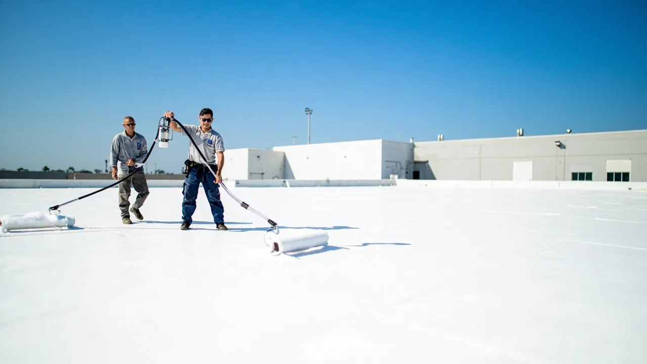
Aerial photos cannot see beneath a membrane, verify seam adhesion, measure curb flashing height from every angle, or tell whether insulation is wet. Equipment shadows can conceal surface defects, while glare and pooled water can distort the appearance of a roof section. We label uncertain areas for direct examination instead of assigning a condition based on image color alone. If a suspected moisture pattern needs confirmation, a core cut or appropriate survey must answer that question.
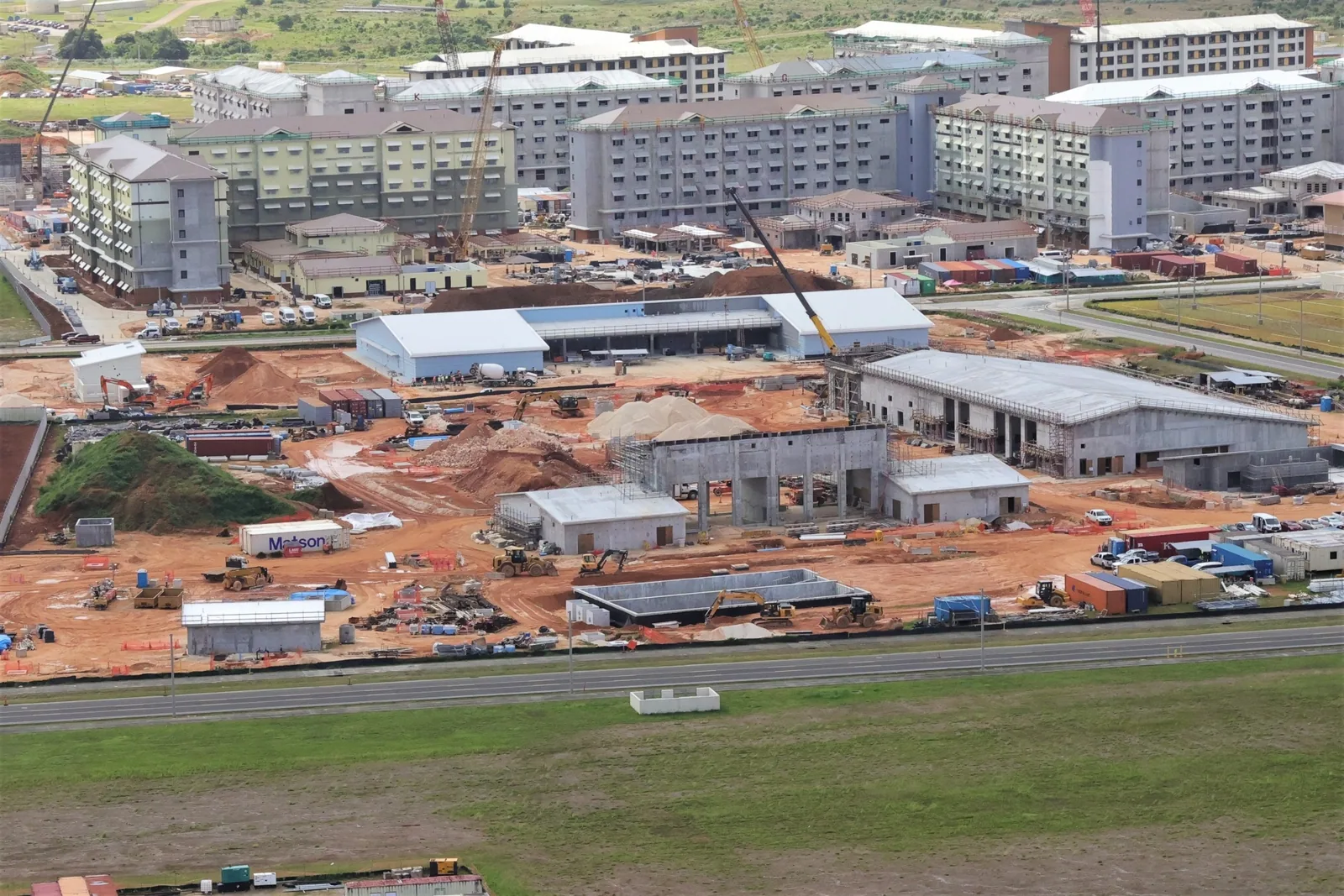
Edge details, penetrations, drain bowls, and loose metal may need close-up images or a hands-on walk. We combine aerial context with ground-level notes and targeted photographs where access is safe. For example, the Cambridge Crossing redevelopment contains commercial and residential buildings alongside dining and retail; a district-wide overhead image is not a substitute for documenting the individual roof and its transitions. A moisture survey can be considered when the assembly and conditions support it, and the report distinguishes that test from the drone capture.
How do images become usable records?
Each image set should be organized by building and roof section, with capture date, view direction, and any visible limitation recorded. We pair wide views with closer images of the condition under review and mark the location on a roof plan or field sketch. If a roof plan is missing, we create working section labels that the property team can confirm. This makes it easier to locate an image during a repair estimate or the next inspection.
Cambridge's climate planning identifies heavier precipitation and more intense storms as local risks. Repeated aerial captures can show visible changes to drains, edge metal, rooftop equipment, and debris conditions between visits. They cannot establish how an unseen layer has changed, so we note when hands-on testing is needed. For an asset manager reviewing several Cambridge properties, the image record can feed a condition report and multi-site review without confusing aerial screening with a full diagnostic survey.
What does the owner receive?
The closeout includes selected aerial images, section labels, visible observations, and a list of areas that need closer review. We distinguish clear images from views limited by shade, obstructions, weather, or access. If a condition requires a repair inspection, we note its location and the detail to examine. The property manager can then route the next visit to a known area rather than reopening the entire survey question.
Where imagery identifies a likely opening or loose component, a follow-up repair visit can verify the material and define the repair. A roof owner comparing future work can retain the dated images with the property's service history. In the Alewife area, the City notes both commercial uses and roadway and transit connections; the exact building route, access conditions, and roof configuration still determine how the crew reaches each section. A linked roof asset record can keep those site-specific notes available for the next inspection.
The image handoff should identify the capture date, roof section, camera angle, and any area hidden by parapets, equipment, glare, or shadows. We label images so a manager can return from an overview to the seam or curb under discussion. Aerial imagery may help plan a safe roof walk, but it does not verify membrane adhesion, insulation moisture, attachment, or concealed deck condition. If a close inspection is needed, the report names the ground method and access window required. The owner receives the image set with a short list of visible items and limits, not a flight record presented as a complete condition diagnosis.
Commercial Roofing Questions
Can a drone inspection find wet insulation?
No. An aerial image shows visible surface patterns but cannot establish moisture below the membrane. Infrared imaging or a core cut may help answer that question when the assembly and testing conditions are suitable, and the report should identify the method and its limits.
Will the drone inspect every curb and seam?
The camera can document visible details from available angles, but small seams and flashing terminations may need hands-on review. We mark obscured or uncertain conditions for direct access instead of treating a distant image as a test.
What can delay the flight?
Wind, rain, poor visibility, people below the flight area, site restrictions, or a property access conflict can make capture unsuitable. We coordinate timing with the property contact and reschedule when the conditions do not support a controlled flight.
Can aerial images be used to estimate a replacement?
They can help organize roof sections and identify visible features, but they do not confirm deck condition, assembly layers, attachment, or concealed moisture. A replacement scope needs those items reviewed through records, field inspection, and testing where appropriate.
How should the images be stored?
Keep them with the building roof plan, inspection notes, and dated repair records. Section labels and a capture date make future comparisons more useful. We can provide a condition report that links the images to observed items and recommended follow-up.
Related Roofing Work
More Commercial Roofing Services
Browse every page in Commercial Roofing Services, or request a roof assessment and we will walk the roof with you.
Map the roof before the follow-up walk
Share the Cambridge property address, roof plan if available, areas that are hard to access, site restrictions, and an access contact. We will confirm whether aerial capture fits the property and identify any details that need hands-on review.